
Satcat
Comprehensive spaceflight intelligence platform offering real-time tracking, historical data, and advanced analytics for satellites and orbital objects.
What is Satcat?
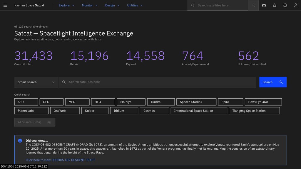
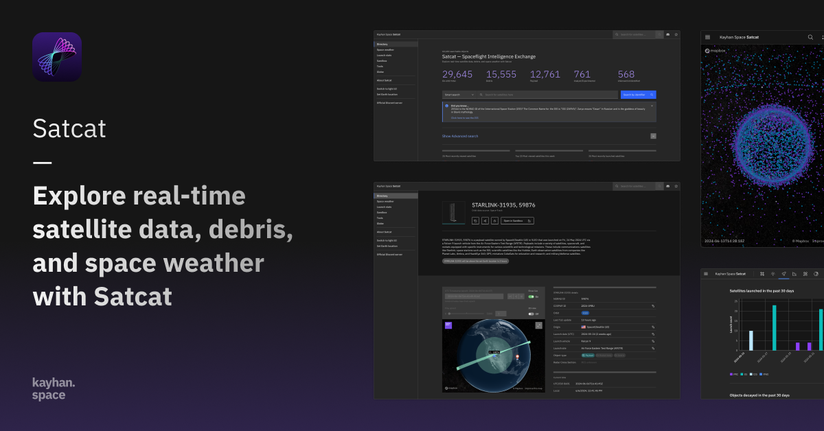
Satcat by Kayhan Space is a unified spaceflight intelligence exchange platform that aggregates extensive data on over 60,000 objects orbiting Earth, including active satellites, debris, and decayed objects. It provides users with detailed satellite information, real-time tracking, historical Two-Line Element (TLE) data up to four years, space weather forecasts, and advanced analysis tools. Satcat’s interactive 3D globe visualization and sandbox analytics empower professionals and enthusiasts to monitor orbital dynamics, assess collision risks, and simulate scenarios. The platform also supports operator-to-operator coordination, autonomous collision avoidance, and precise orbit determination, making it a mission-critical tool for satellite operators, researchers, and space industry stakeholders.
Compare with Alternatives
| Feature | Satcat | Verge Genomics | Tamarind Bio | Spate |
|---|---|---|---|---|
| Rating | 0.0 | 0.0 | 0.0 | 0.0 |
| Pricing | Paid | Paid | Paid | Paid |
| Starting From | — | — | — | — |
| API | — | — | — | — |
| Free Tier | — | — | — | — |
| Mobile App | — | — | — | — |
Who is it for
Satellite Operations Management
Operators use Satcat to monitor satellite orbits, assess collision risks, plan maneuvers, and coordinate with other operators for safer spaceflight.
Space Research and Education
Researchers and educators access historical and real-time data, visualize orbital paths, and simulate scenarios to study space environment dynamics.
Space Situational Awareness (SSA)
Provides comprehensive situational awareness through aggregated data and analytics to track space debris and active satellites effectively.
Space Weather Impact Analysis
Enables users to monitor and forecast space weather events that could affect satellite functionality and communication systems.
Industry Collaboration and Coordination
Facilitates direct communication and data sharing among satellite operators and stakeholders to improve transparency and operational safety.